

If you are planning your dream trip to South Korea, you probably have a carefully organized Google Maps list saved with every trendy cafe in Seongsu-dong, every mouthwatering K-BBQ spot in Hongdae, and every historic palace in Seoul. However, the moment you land at Incheon International Airport and open your favorite mapping app, a frustrating reality hits: turn-by-turn walking directions are completely disabled, driving routes are unreliable, and transit info is often outdated or missing entirely.
This navigation nightmare isn’t a glitch on your phone. Due to strict national security regulations regarding high-definition spatial mapping data, South Korea restricts foreign corporations from exporting detailed local geographic data to overseas servers. To navigate Seoul, Busan, Jeju Island, and everywhere in between smoothly, you need the local favorite: Naver Maps. In this ultimate step-by-step guide, you will learn how to set up, search, and master Naver Maps so you can travel across Korea with total confidence.
- Google Maps lacks turn-by-turn walking and driving navigation in Korea due to national security data laws.
- Naver Maps is available in full English, offering real-time public transit tracking, walking routes, and indoor subway maps.
- Search destinations using phone numbers or copy-pasted Korean addresses for 100% accuracy.
- Save your hotel and must-visit spots using custom color-coded bookmark lists before your trip begins.
Why Google Maps Fails in South Korea (and Why Naver Wins)

The core reason Google Maps struggles in South Korea comes down to legal regulations. The South Korean government restricts the export of precise vector map data to foreign servers to safeguard national security due to ongoing tensions on the Korean Peninsula. Because Google processes its mapping data on international servers, it cannot access South Korea’s official high-resolution mapping system.
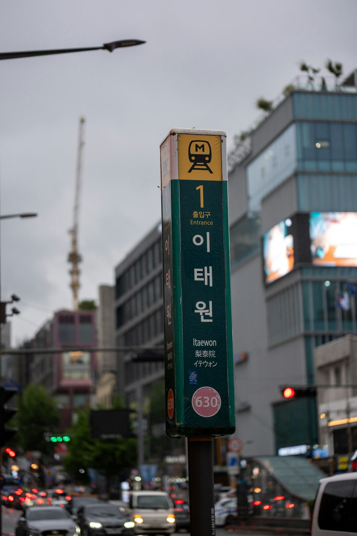
Naver Maps (and its main domestic competitor, KakaoMap) keeps all geographic data strictly on local Korean servers. Consequently, Naver Maps has full access to real-time spatial updates, high-definition panoramic satellite views, accurate transit arrivals, and intricate footpaths through maze-like alleyways. Whether you are searching for the nearest subway exit in Itaewon or finding a hidden speakeasy bar in Euljiro, Naver Maps provides precise details down to the exact doorway.
Setting Up Naver Maps for Foreign Tourists
Getting started with Naver Maps is fast and simple, but adjusting a few key settings before leaving your hotel will save you time on the go. The app is available for free on both iOS Apple App Store and Google Play Store under the title ‘Naver Map’.
1. Switching the Language to English
When you first download Naver Maps, it may default to your smartphone system language. If the interface appears in Korean, tap the menu icon (three horizontal lines) in the upper-left corner, select the gear icon for Settings, tap ‘Language’, and select ‘English’. While not every single user-generated review is translated, all street names, transit lines, subways, and major attractions display cleanly in English.
2. Creating an Account to Save Bookmarks
While you can search for routes as a guest, creating a free Naver account lets you bookmark places across devices. You can register using an existing Line account, Facebook login, or mobile phone number. Once logged in, tap the star icon on any location to save it into custom lists such as ‘Hotels’, ‘Restaurants’, or ‘Shopping’.
Mastering Navigation: Search Tricks and Transit Guidance
Searching for addresses in South Korea can feel confusing because Romanized English spellings often vary across websites and blogs. Here are the three most effective search strategies for Naver Maps:
Method A: Search by Phone Number. Almost every business, restaurant, and hotel in South Korea is tied to a local landline phone number. If you cannot find a venue by typing its English name, search its 9-to-11-digit phone number (for example, 02-1234-5678). Naver Maps will immediately pin the exact business location.
Method B: Copy and Paste Korean Addresses (Road Name Address). Korea uses a Road Name Address system (Soro/Dae-ro). Copying the Korean Hangul address directly from Google Travel, Instagram, or blogs and pasting it into Naver’s search bar eliminates translation errors instantly.
Method C: Public Transit Real-Time Boarding Info. When taking subways or buses, Naver Maps displays real-time countdown timers, live bus locations, and exact platform door numbers. To make smooth transfers in complex Seoul subway hubs, check the recommended door numbers in the route breakdown (e.g., ‘Fast Transfer: Car 3-4’).
Naver Maps vs. Google Maps Comparison
| Feature | Google Maps in Korea | Naver Maps in Korea |
|---|---|---|
| Walking Turn-by-Turn GPS | Disabled / Vector lines only | Fully functional with compass |
| Public Transit Arrival Times | Basic schedules (often delayed) | Live GPS tracking (buses & trains) |
| Subway Exit & Entrance Details | Limited exit labels | Exact exit numbers, stairs & elevators |
| Street View / Panorama | Incomplete coverage | High-res Panorama updated frequently |
| English Search Capabilities | High | Good (Best when paired with phone numbers) |
Pro Tips for Tourists
- Use Street View (Panorama Mode): Tap the camera icon on the right side of the screen to preview exact building facades and subway exit surroundings before arriving.
- Check Underground Mall Maps: Major underground shopping areas like Express Bus Terminal or Gangnam Station have integrated indoor floor maps inside Naver Maps.
- Monitor T-money Balance Needs: Naver Maps displays the exact fare required for public transit trips, helping you calculate how much money to top up on your T-money or WOWPASS card.
- Rely on Compass Alignment: While walking, tap the blue GPS icon twice to align the map orientation with the physical direction your phone is pointing.
- Save Hotel Locations in Both English & Korean: Save your hotel’s Korean name so you can easily show it to taxi drivers if your smartphone battery runs low.
- Download Offline Maps: If you expect poor connectivity or want to conserve mobile data, download regional city maps directly within the Naver Maps settings menu.
- Utilize Bus Stop Numbers: Korean bus stops have unique 5-digit ID numbers posted on their signboards. Type this 5-digit number into Naver Maps to confirm you are standing at the correct side of the street.
- Cross-reference KakaoMap: Download KakaoMap as a reliable backup navigation app if you ever want to cross-check specific boutique store locations or local reviews.
Frequently Asked Questions
Is Naver Maps completely free to use in South Korea?
Yes, Naver Maps is completely free to download and use on iOS and Android devices. It requires an active internet connection (eSIM, pocket Wi-Fi, or local SIM card) to access real-time transit and navigation services.
Can I use Naver Maps without setting up a Korean phone number?
Absolutely. You do not need a South Korean mobile number to use Naver Maps for walking or transit navigation. Creating an optional Naver account for saving bookmarks can be completed using foreign phone numbers or social media accounts.
Why does Naver Maps recommend specific subway car numbers?
Korean subway stations are large and well-engineered. Naver Maps indicates specific car and door numbers (such as Car 4-2) so that when you step off the train, you are directly in front of the staircases or escalators needed for your transfer or chosen exit.